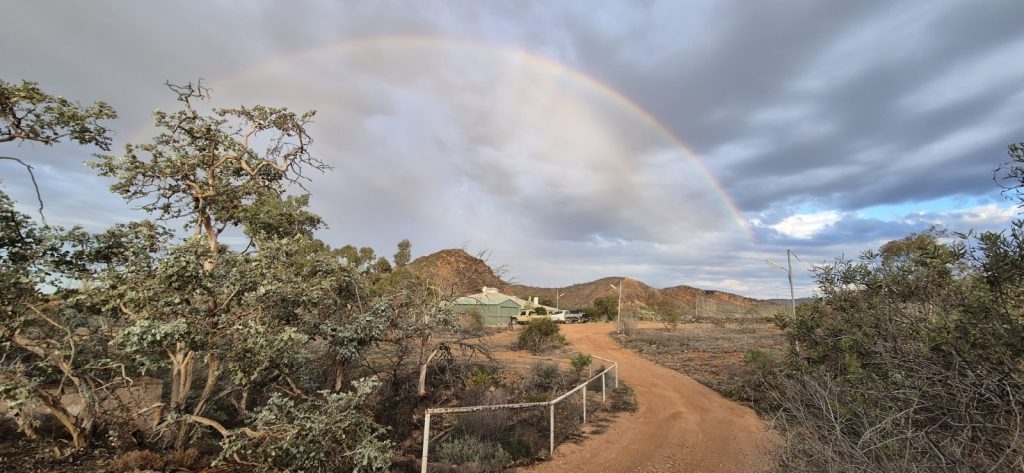
Weather in the Park
All roads approaching the park are unsealed and will close after significant rain. This can make getting to and from the park difficult if heavy rain has fallen or is forecast. To assess the likelihood of such difficulties the website of the Bureau of Meteorology (BOM) is the best source of information and means of checking current, recent and impending weather conditions along the unsealed road approaches.
The most relevant weather stations are Leigh Creek and Arkaroola. These are located in South Australia’s ‘North West Pastoral’ and ‘North East Pastoral’ district. Follow the links to go directly to daily rainfall figures for Arkaroola ArkWeather and Leigh Creek LC-Weather .
The BOM website provides a current 7 day forecast for Leigh Creek but not for Arkaroola. To see this forecast click here.
Note that rainfall is sporadic and that the graphs below show the long term monthly averages at Balcanoona – the Park headquarters. In the 60 months of 2016 to 2023, 24 months had 0mm rainfall, 8 months had more than 50mm, and 3 months had more than 100mm. When there has been significant rainfall near the Park it is worthwhile looking at the South Australian Department of Roads website to check that the roads near the Park are open to traffic. Heavy rainfall will often see unsealed roads near the Park closed to traffic or subject to traffic restrictions. Go back to “The Park” drop down menu and by clicking on the ‘Park location and road access’ text, a page containing a link to “Outback Roads” on the Department of Roads website will appear.


It doesn’t rain often at Balcanoona
